The River That Vanished: Tracing the Saraswati Through Geology and Verse
Few questions in South Asian archaeology generate as much dispute. Between satellite paleochannels, zircon sediment dating, and Vedic philology, what does the empirical record actually reveal?
A wide, now-dry riverbed runs beneath the sands of Haryana and Rajasthan, flanked by over a thousand Harappan settlements. Yet whether the Vedic Saraswati was a snow-fed giant or a monsoon-fed seasonal stream remains an active, unresolved scientific debate.
Aakash Bhagat
Founder & Editor
•Updated September 9, 2026•8 min read
Vast dried alluvial corridors and desert dunes across the Ghaggar-Hakra basin where the ancient Saraswati once flowed.Archaeological Archives
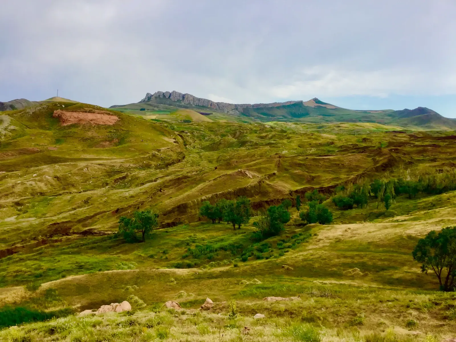
High in eastern Turkey’s Tendürek Mountains, a 515-foot boat-shaped formation has puzzled researchers for 65 years. In September 2026, university archaeologists began direct core drilling for the first time since 1988. Discover what was actually recovered, how Collins and Fasold exposed early claims, and the falsifiable test awaiting 2027 lab results.
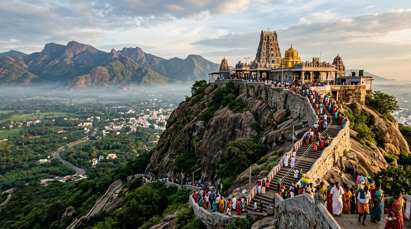
Atop the sacred Sivagiri hill in Palani, Tamil Nadu, stands an ancient idol crafted not from stone or bronze, but from Navapashanam—an alchemical matrix of nine deadly poisons solidified by Sage Bogar. Discover the hidden chemistry, the healing powers of the overnight sandal paste and abhishekam prasadam, the subterranean tunnel connecting Bogar's samadhi, and the controversial 2004 replacement that triggered an international antiquities investigation.
Coorg's hillside resorts book out months in advance now. Gokarna's main beach can feel more like a queue than a shoreline, and Hampi comes with tour buses in equal measure. But Karnataka's Malnad hill country and coastal belt hold a genuinely different kind of trip: rainforest instead of resort, empty tide lines instead of beach shacks, and moss-draped forts you'll have mostly to yourself. Discover 7 secret places in Karnataka that redefine South Indian travel.
Whether you crave snowy Himalayan walks, candlelit palace reflections across Lake Pichola, high-energy beach parties in Goa, colonial carnival effigies in Fort Kochi, or tropical isolation in the Andamans, India offers an astonishing spectrum of year-end celebrations. Discover five magical destinations to spend Christmas and New Year.
Few questions in South Asian archaeology generate as much genuine, ongoing dispute — among geologists as much as historians — as the fate of the river the Rigveda calls Saraswati. The broad outline isn't in serious question: a wide, now-dry riverbed runs beneath the sands of Haryana, Rajasthan, and Cholistan, visible in satellite imagery and confirmed by decades of drilling and sediment coring. What remains genuinely, actively contested — right now, in peer-reviewed geology journals, not just in popular debate — is what kind of river once ran through it, and precisely when, and how directly it maps onto the river the Vedic poets described.
What the Ground Actually Shows
The paleochannel itself is real and well documented. Satellite imagery from ISRO's Bhuvan portal and LANDSAT data have mapped a buried riverbed running roughly along the modern Ghaggar-Hakra course, in places several kilometres wide — one geophysical survey (Sinha et al., 2013) identified sand bodies roughly 12 kilometres wide and 30 metres thick beneath the channel near the Thar Desert's northern margin. Drilling by the Geological Survey of India and Central Ground Water Board has also confirmed deep, ancient freshwater aquifers running parallel to this course. None of this is disputed.
Deep freshwater paleochannel aquifers verified by GSI & CGWB
It's also true, and well established archaeologically, that a strikingly dense concentration of Harappan and pre-Harappan settlement sites — well over a thousand by most counts, including major centres like Kalibangan, Banawali, and Rakhigarhi — cluster along this dry channel rather than along the Indus itself. Whatever this river was, it clearly mattered enormously to the people who lived beside it.
Where the Real Argument Is
Here is where the picture your brief presents needs real qualification: the claim that this was unambiguously a mighty, Himalayan glacier-fed, perennial river — precisely matching the Rigveda's description of a river running "from the mountains to the sea," and drying up in close synchrony with the specific textual stages your table lays out — states as settled fact something that is, in the actual geological literature, a genuinely live and unresolved dispute.
One substantial body of research argues the opposite of the "mighty perennial river" picture. Using zircon-dating and sediment-provenance analysis, Peter Clift and colleagues (2012), and later Ajit Singh and colleagues (2017, in Nature Scientific Reports), traced the sediment beneath the Ghaggar-Hakra channel and found its composition matches the Sutlej and (further east) the Yamuna — but concluded these rivers abandoned this channel and migrated to their present courses roughly 8,000 to 10,000 years ago. On this reading, by the time the Harappan civilisation reached its urban peak (roughly 2600–1900 BCE, a mere 4,500 years ago) the channel had already been reduced to a monsoon-fed, seasonal system with no glacial Himalayan input at all — meaning the Harappans who built along it, and the poets who later praised it, were dealing with a monsoon river, not the snow-fed giant sometimes claimed.
A separate, more recent body of work pushes back the other way. Chatterjee and colleagues (2019), examining sediment from a different, shallower stretch of the channel, argued the river remained in a genuinely perennial phase — with continued Himalayan glacial input — as late as 4,500 years ago, overlapping with the Mature Harappan period after all. Other researchers (Khonde et al., Dave et al.) have offered readings in between. A 2017 study on the Chautang paleochannel (a proposed former Yamuna course) reached a third conclusion: that river activity there predated the Harappans by a wide margin and shows no meaningful overlap with their civilisation at all.
The Geological Debate: Glacial Perennial vs. Seasonal Monsoon Model
Early Capture & Seasonal Stream (Singh et al. 2017)
Glacial Connection Timeline:Severed 10,000–8,000 BP when Sutlej & Yamuna avulsed away
Mature Harappan Hydrology:Monsoon-fed seasonal river prone to flood recession farming
Sediment Provenance Fingerprint:Zircon U-Pb dating & Nd isotopes indicate relict early Holocene sediments
Rigvedic Correlation:Textual hymns reflect ancestral folk memory or seasonal monsoon floods
Extended Glacial Perennial Flow (Chatterjee et al. 2019)
Glacial Connection Timeline:Persisted until ~4,500 BP, sustaining Mature Harappan centers
Mature Harappan Hydrology:Year-round perennial river fed by Higher Himalayan glacial melt
Sediment Provenance Fingerprint:Sr-Nd isotope stratigraphy in shallow strata suggests late Holocene glacial feeds
Rigvedic Correlation:Direct correspondence with early hymns praising mighty sea-reaching waters
“Anyone telling you this question is closed, in either direction, is overstating the state of the field. It is an active, unresolved argument between geomorphologists working with the same broad toolkit.”
The honest scholarly summary, as things stand, is that this is not settled science with one side simply correct — it's an active, unresolved argument between geomorphologists working with the same broad toolkit (OSL dating, sediment provenance, zircon isotopes) and reaching different conclusions depending on which stretch of channel and which sediment layer they sample. Anyone telling you this question is closed, in either direction, is overstating the state of the field.
The Textual Side of the Question
The identification of this paleochannel with the Vedic Saraswati is not, in itself, a fringe or recent claim — it's a genuinely mainstream hypothesis with a long pedigree, proposed as early as the 19th century by scholars including Christian Lassen and Max Müller, and it rests on reasonably solid textual footing. The Rigveda's Nadistuti Sukta (10.75), a hymn that lists the major rivers of the Vedic world in clear west-to-east geographical order, places the Saraswati between the Yamuna and the Shutudri (Sutlej) — a position consistent with the Ghaggar's location on the map today. Later texts, including the Mahabharata and the Brahmanas, do describe the Saraswati as a river that dried into the sand at a place called Vinasana (or Vinashana), and the epic's account of Balarama's pilgrimage along its vanished course is a genuine textual tradition, not an invented detail.
Textual Evolution of the Saraswati Across Sanskrit Canons
Textual Corpus
Geographical Position
Hydrological State
Scholarly Consensus
Rigveda 10.75 (Nadistuti Sukta)
Positioned between Yamuna and Shutudri (Sutlej)
Prominent river of the Sapta Sindhu
Matches geographical location of modern Ghaggar-Hakra
Rigveda 7.95 (Vasistha Mandala)
Flowing "from the mountains to the sea" (giribhya a samudrat)
Mighty perennial current
Debated: active perennial phase vs. mythological/poetic reverence
Pancavimsha Brahmana
Disappearance into the sands at Vinasana
Terminal desiccation point
Earliest documentary record of channel drying
Mahabharata (Shalya Parva)
Balarama’s holy pilgrimage along the desiccated riverbed
Discontinuous sacred pools (tirthas)
Preserves cultural memory of a dying river network
Where the account in your brief needs real correction is the specific timeline it proposes for correlating textual stages to geological dates — particularly the claim that an "Early Rigveda" describing the Saraswati as a mighty, sea-reaching river predates 3000 BCE. This runs well ahead of where mainstream Indology and historical linguistics actually place the text. The scholarly consensus, built from comparative Indo-Iranian linguistics, the absence of iron in the hymns, and external corroboration like the c. 1400 BCE Mitanni treaties (which name Vedic deities including Indra and Varuna), places the Rigveda's composition at roughly 1500–1200 BCE — a full millennium or more after the 3000 BCE date implied in the proposed correlation. A minority of scholars, working from a different set of premises (often tied to rejecting the broader Indo-Aryan migration model), have argued for composition dates reaching back to 4000 BCE or earlier; this remains a genuinely minority position within the field, not the consensus view, and it's worth being upfront about that rather than presenting the older dating as settled.
Tectonic shifts and drainage capture divert the Sutlej westward into the Indus and Yamuna eastward into the Ganga, severing Himalayan meltwater from the Ghaggar course (Singh et al., 2017).
c. 2600–1900 BCE
Mature Harappan Urban Climax
Over 1,000 settlements thrive along the Ghaggar-Hakra basin (Kalibangan, Rakhigarhi, Banawali), sustained either by seasonal monsoon flooding or lingering perennial flow (Chatterjee et al., 2019).
c. 1900–1300 BCE
Mid-Holocene Aridity & De-urbanization
Regional drying weakens monsoon precipitation across South Asia, accelerating the abandonment of western urban centers and eastward migrations into the Ganga basin.
c. 1500–1200 BCE
Mainstream Linguistic Dating of the Rigveda
Vedic hymns composed in the Punjab / Haryana plains. The Nadistuti Sukta lists Saraswati in exact topographical sequence between Yamuna and Shutudri.
c. 900–400 BCE
Brahmanas & Mahabharata: The Vanishing at Vinasana
Texts explicitly record the river vanishing into the sands at Vinasana and commemorate Balarama’s sacred pilgrimage tracing the dried riverbed.
What Can Be Said With Confidence
Setting aside the contested details, a few things hold up well: a large, now-vanished river system did once run roughly along today's Ghaggar-Hakra course; it was significant enough to draw one of the densest concentrations of Bronze Age settlement anywhere in South Asia; a river called Saraswati occupies a position of real prominence in the Rigveda's own geography and religious imagination, generally identified by scholars across the ideological spectrum with this same channel; and later Vedic and epic literature does independently preserve a memory of that river's disappearance.
What can't honestly be claimed as settled is the precise nature of the river at any given moment in its multi-thousand-year history, the exact date its glacial sources (if any, at the relevant time) shifted away, or a clean one-to-one correspondence between geological dating and textual chronology. This is, in the end, one of those rare cases where the geology and the philology are each independently contested — and where an honest account has to hold both open questions at once, rather than letting the more dramatic version of either story stand in for consensus.
Scholarly Frequently Asked Questions
Is the paleochannel of the Saraswati River scientifically verified?▼
Yes. Satellite imagery from ISRO Bhuvan and LANDSAT, along with ground-penetrating radar and drilling by the Geological Survey of India, have mapped sand bodies up to 12 kilometres wide and deep freshwater aquifers beneath the Ghaggar-Hakra course.
Was the Saraswati a snow-fed glacial river or rain-fed monsoon river?▼
This remains an active scientific debate. Ajit Singh et al. (2017) argue that the Sutlej and Yamuna avulsed away 8,000–10,000 years ago, leaving a seasonal monsoon river by Harappan times. Conversely, Chatterjee et al. (2019) argue that glacial meltwater persisted until 4,500 years ago, sustaining a perennial river.
What is Vinasana in Sanskrit literature?▼
Vinasana (literally "disappearance") is the sacred desert locality recorded in the Pancavimsha Brahmana and the Mahabharata where the Saraswati sank beneath the sands and ceased flowing continuously.
Why does mainstream academia reject dating the Rigveda to 3000 BCE?▼
Comparative Indo-Iranian linguistics, absence of iron weaponry in the hymns, and external synchronisms like the c. 1400 BCE Mitanni treaties place the Rigveda at approximately 1500–1200 BCE, rather than in the 3rd or 4th millennium BCE.